High Street Argoed climbs towards the A4048
Introduction
The photograph on this page of High Street Argoed climbs towards the A4048 by Jaggery as part of the Geograph project.
The Geograph project started in 2005 with the aim of publishing, organising and preserving representative images for every square kilometre of Great Britain, Ireland and the Isle of Man.

There are currently over 7.5m images from over 14,400 individuals and you can help contribute to the project by visiting https://www.geograph.org.uk
High Street Argoed climbs towards the A4048
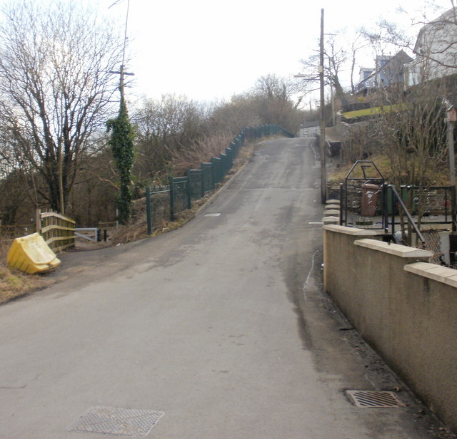
Image: © Jaggery Taken: 1 Mar 2010
The view up High Street from the junction with Cwm Road. Despite its name, this is more like a country road than a high street. On the left side, the land descends steeply towards the Sirhowy valley. http://www.geograph.org.uk/photo/1731250 to a view in the opposite direction.
Images are licensed for reuse under creativecommons.org/licenses/by-sa/2.0
Image Location
Latitude
51.690897
Longitude
-3.192026