Field and valley north of Trevozah Cross
Introduction
The photograph on this page of Field and valley north of Trevozah Cross by Derek Harper as part of the Geograph project.
The Geograph project started in 2005 with the aim of publishing, organising and preserving representative images for every square kilometre of Great Britain, Ireland and the Isle of Man.

There are currently over 7.5m images from over 14,400 individuals and you can help contribute to the project by visiting https://www.geograph.org.uk
Field and valley north of Trevozah Cross
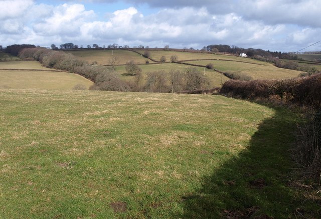
Image: © Derek Harper Taken: 26 Feb 2010
A view across the field to the west of the lane shown in Image, which is sunk between banks. The valley is that of the Lowley Brook, and climbing the far slopes in Image is the belt of trees referred to in Image
Images are licensed for reuse under creativecommons.org/licenses/by-sa/2.0
Image Location


Leaflet Map data © OpenStreetMap
Latitude
50.611134
Longitude
-4.357455