Railway to Doncaster
Introduction
The photograph on this page of Railway to Doncaster by Alan Murray-Rust as part of the Geograph project.
The Geograph project started in 2005 with the aim of publishing, organising and preserving representative images for every square kilometre of Great Britain, Ireland and the Isle of Man.

There are currently over 7.5m images from over 14,400 individuals and you can help contribute to the project by visiting https://www.geograph.org.uk
Railway to Doncaster
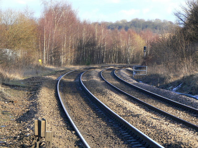
Image: © Alan Murray-Rust Taken: 10 Feb 2010
Looking east from Denaby Main level crossing. This apparently rural scene belies the fact that the growth of birch trees at the left hand side conceals the site of the extensive Denaby Main colliery.
Images are licensed for reuse under creativecommons.org/licenses/by-sa/2.0
Image Location
Latitude
53.493216
Longitude
-1.255514