Bridleway down Tenants Hill
Introduction
The photograph on this page of Bridleway down Tenants Hill by Robin Webster as part of the Geograph project.
The Geograph project started in 2005 with the aim of publishing, organising and preserving representative images for every square kilometre of Great Britain, Ireland and the Isle of Man.

There are currently over 7.5m images from over 14,400 individuals and you can help contribute to the project by visiting https://www.geograph.org.uk
Bridleway down Tenants Hill
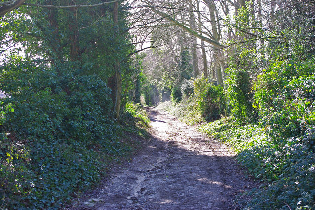
Image: © Robin Webster Taken: 1 Mar 2010
The track enters the urban fringe. There are houses on the right, but well hidden here, even in winter.
Images are licensed for reuse under creativecommons.org/licenses/by-sa/2.0
Image Location
Latitude
50.838733
Longitude
-0.371123