Bromesberrow War Memorial
Introduction
The photograph on this page of Bromesberrow War Memorial by Philip Halling as part of the Geograph project.
The Geograph project started in 2005 with the aim of publishing, organising and preserving representative images for every square kilometre of Great Britain, Ireland and the Isle of Man.

There are currently over 7.5m images from over 14,400 individuals and you can help contribute to the project by visiting https://www.geograph.org.uk
Bromesberrow War Memorial
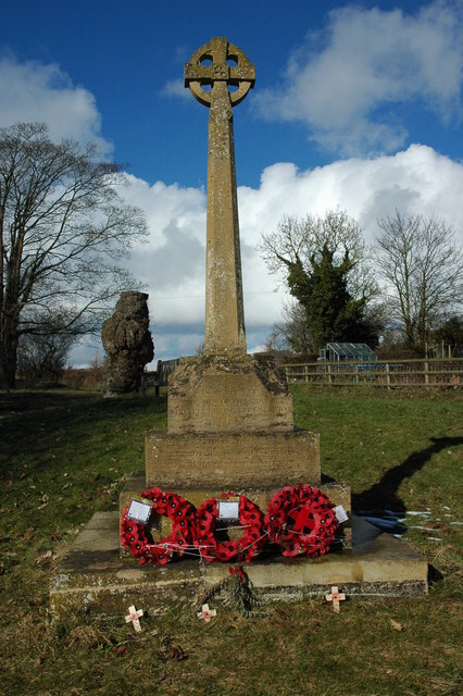
Image: © Philip Halling Taken: 21 Feb 2010
Bromesberrow War Memorial stands on a triangle of land on a road junction. Note the tree trunk in the background and compare it with this earlier picture Image
Images are licensed for reuse under creativecommons.org/licenses/by-sa/2.0
Image Location
Latitude
52.005203
Longitude
-2.370413