East Howe, school site
Introduction
The photograph on this page of East Howe, school site by Mike Faherty as part of the Geograph project.
The Geograph project started in 2005 with the aim of publishing, organising and preserving representative images for every square kilometre of Great Britain, Ireland and the Isle of Man.

There are currently over 7.5m images from over 14,400 individuals and you can help contribute to the project by visiting https://www.geograph.org.uk
East Howe, school site
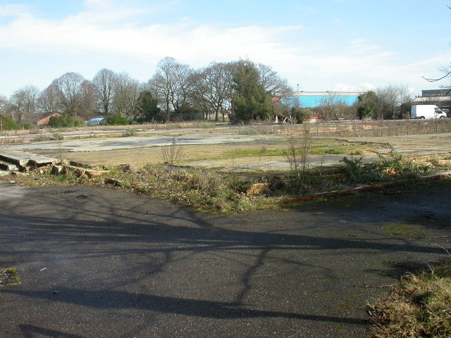
Image: © Mike Faherty Taken: 1 Mar 2010
On Hadow Road, once the site of Kingsleigh Primary School (Leigh Site), before that, Kingsleigh First School. The current primary school is across the road.
Images are licensed for reuse under creativecommons.org/licenses/by-sa/2.0
Image Location
Latitude
50.756174
Longitude
-1.900854