Un-named burn
Introduction
The photograph on this page of Un-named burn by Alasdair MacNeill as part of the Geograph project.
The Geograph project started in 2005 with the aim of publishing, organising and preserving representative images for every square kilometre of Great Britain, Ireland and the Isle of Man.

There are currently over 7.5m images from over 14,400 individuals and you can help contribute to the project by visiting https://www.geograph.org.uk
Un-named burn
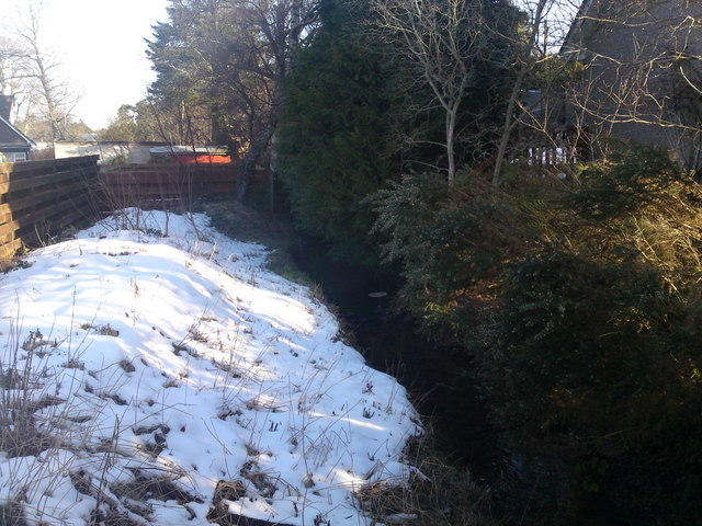
Image: © Alasdair MacNeill Taken: 1 Mar 2010
Not sure what this burn is called as it's not listed on any maps. It runs through the Culduthel and Locharil areas of the city before emptying into the River Ness.
Images are licensed for reuse under creativecommons.org/licenses/by-sa/2.0
Image Location
Latitude
57.45443
Longitude
-4.22745