Middle Division Townland
Introduction
The photograph on this page of Middle Division Townland by Dean Molyneaux as part of the Geograph project.
The Geograph project started in 2005 with the aim of publishing, organising and preserving representative images for every square kilometre of Great Britain, Ireland and the Isle of Man.

There are currently over 7.5m images from over 14,400 individuals and you can help contribute to the project by visiting https://www.geograph.org.uk
Middle Division Townland
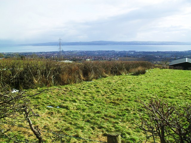
Image: © Dean Molyneaux Taken: 28 Feb 2010
A large townland (3868 acres) that encompasses most of the area to the immediate north of Carrickfergus. For whatever reason, the normal practice of dividing groups of farms into townlands never caught on in this area. The view is towards Carrickfergus, Belfast Lough and North Down beyond that. Taken from the Liberty Road.
Images are licensed for reuse under creativecommons.org/licenses/by-sa/2.0
Image Location
Latitude
54.750254
Longitude
-5.837931