Ballymoney Hill, Banbridge (2)
Introduction
The photograph on this page of Ballymoney Hill, Banbridge (2) by Albert Bridge as part of the Geograph project.
The Geograph project started in 2005 with the aim of publishing, organising and preserving representative images for every square kilometre of Great Britain, Ireland and the Isle of Man.

There are currently over 7.5m images from over 14,400 individuals and you can help contribute to the project by visiting https://www.geograph.org.uk
Ballymoney Hill, Banbridge (2)
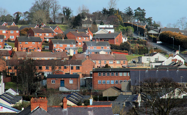
Image: © Albert Bridge Taken: 28 Feb 2010
Ballymoney Hill, the dominant feature to the north of the town, seen from Downshire Place. “Development” of what might now be called a “natural amenity” started in 1926 with the building of Mount Pleasant.
Images are licensed for reuse under creativecommons.org/licenses/by-sa/2.0
Image Location
Latitude
54.355407
Longitude
-6.264071