Oaks Lane at Brockhurst Farm
Introduction
The photograph on this page of Oaks Lane at Brockhurst Farm by Peter Barr as part of the Geograph project.
The Geograph project started in 2005 with the aim of publishing, organising and preserving representative images for every square kilometre of Great Britain, Ireland and the Isle of Man.

There are currently over 7.5m images from over 14,400 individuals and you can help contribute to the project by visiting https://www.geograph.org.uk
Oaks Lane at Brockhurst Farm
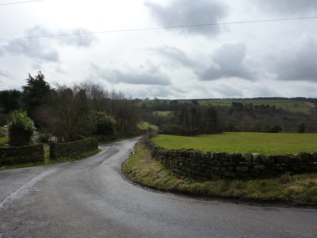
Image: © Peter Barr Taken: 28 Feb 2010
A sharp bend in the road. Looking south, and nearing the bottom of the valley, where the thin strip of woodland has a stream running through, Hodgelane Brook
Images are licensed for reuse under creativecommons.org/licenses/by-sa/2.0
Image Location
Latitude
53.173873
Longitude
-1.503268