Farm buildings in Uppertown
Introduction
The photograph on this page of Farm buildings in Uppertown by Peter Barr as part of the Geograph project.
The Geograph project started in 2005 with the aim of publishing, organising and preserving representative images for every square kilometre of Great Britain, Ireland and the Isle of Man.

There are currently over 7.5m images from over 14,400 individuals and you can help contribute to the project by visiting https://www.geograph.org.uk
Farm buildings in Uppertown
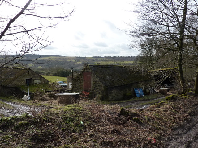
Image: © Peter Barr Taken: 28 Feb 2010
On the roadside and in the fields the vegetation is sodden, with winter showing no signs of letting up, and few signs of any new shoots
Images are licensed for reuse under creativecommons.org/licenses/by-sa/2.0
Image Location
Latitude
53.181132
Longitude
-1.519643