Bridge across A30, Launceston
Introduction
The photograph on this page of Bridge across A30, Launceston by Derek Harper as part of the Geograph project.
The Geograph project started in 2005 with the aim of publishing, organising and preserving representative images for every square kilometre of Great Britain, Ireland and the Isle of Man.

There are currently over 7.5m images from over 14,400 individuals and you can help contribute to the project by visiting https://www.geograph.org.uk
Bridge across A30, Launceston
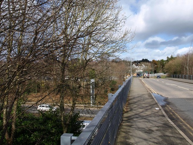
Image: © Derek Harper Taken: 26 Feb 2010
The bridge carries Hurdon Road across the dual carriageway. That white object a few metres away on the pavement is the cover to my OS Launceston & Holsworthy Explorer map, but I have only just noticed it in the photo. However, it was still there two hours later when I returned across the bridge, having assumed it was lost forever!
Images are licensed for reuse under creativecommons.org/licenses/by-sa/2.0
Image Location
Latitude
50.628507
Longitude
-4.356768