Looking towards the St Dogmaels to Cardigan road
Introduction
The photograph on this page of Looking towards the St Dogmaels to Cardigan road by Flopsy Designs as part of the Geograph project.
The Geograph project started in 2005 with the aim of publishing, organising and preserving representative images for every square kilometre of Great Britain, Ireland and the Isle of Man.

There are currently over 7.5m images from over 14,400 individuals and you can help contribute to the project by visiting https://www.geograph.org.uk
Looking towards the St Dogmaels to Cardigan road
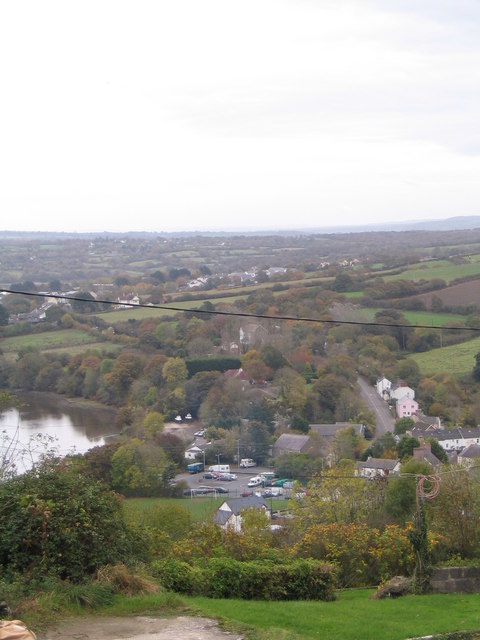
Image: © Flopsy Designs Taken: 26 Oct 2009
Looking down from Pen Y Rhiw road just inside St Dogmaels near the top of the hill.
Images are licensed for reuse under creativecommons.org/licenses/by-sa/2.0
Image Location


Leaflet Map data © OpenStreetMap
Latitude
52.081465
Longitude
-4.673118