Ash Road
Introduction
The photograph on this page of Ash Road by Peter Teal as part of the Geograph project.
The Geograph project started in 2005 with the aim of publishing, organising and preserving representative images for every square kilometre of Great Britain, Ireland and the Isle of Man.

There are currently over 7.5m images from over 14,400 individuals and you can help contribute to the project by visiting https://www.geograph.org.uk
Ash Road
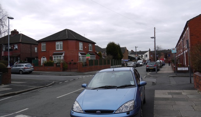
Image: © Peter Teal Taken: 28 Feb 2010
Junction at the bottom with Thornley Lane North. Corner house used to be a shop but like so many others could not compete with the supermarkets.
Images are licensed for reuse under creativecommons.org/licenses/by-sa/2.0
Image Location
Latitude
53.454713
Longitude
-2.156124