In the Preseli foothills
Introduction
The photograph on this page of In the Preseli foothills by Deborah Tilley as part of the Geograph project.
The Geograph project started in 2005 with the aim of publishing, organising and preserving representative images for every square kilometre of Great Britain, Ireland and the Isle of Man.

There are currently over 7.5m images from over 14,400 individuals and you can help contribute to the project by visiting https://www.geograph.org.uk
In the Preseli foothills
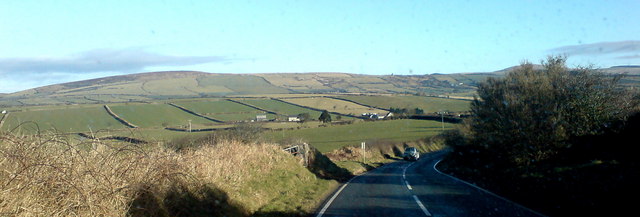
Image: © Deborah Tilley Taken: 14 Feb 2010
Mynydd Castlebythe is the furthest hill visible. The road that leads to Letterston veers off to the left in the distance.
Images are licensed for reuse under creativecommons.org/licenses/by-sa/2.0
Image Location
Latitude
51.905248
Longitude
-4.869533