Disused railway line near Glamis
Introduction
The photograph on this page of Disused railway line near Glamis by Val Vannet as part of the Geograph project.
The Geograph project started in 2005 with the aim of publishing, organising and preserving representative images for every square kilometre of Great Britain, Ireland and the Isle of Man.

There are currently over 7.5m images from over 14,400 individuals and you can help contribute to the project by visiting https://www.geograph.org.uk
Disused railway line near Glamis
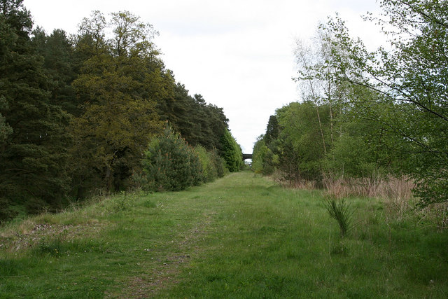
Image: © Val Vannet Taken: 21 May 2006
The view looks northeast along the line of the old railway which used to serve Glamis castle. The bridge in the distance carries the A928 over the track
Images are licensed for reuse under creativecommons.org/licenses/by-sa/2.0
Image Location


Leaflet Map data © OpenStreetMap
Latitude
56.625947
Longitude
-3.021875