Faversham Creek
Introduction
The photograph on this page of Faversham Creek by David Anstiss as part of the Geograph project.
The Geograph project started in 2005 with the aim of publishing, organising and preserving representative images for every square kilometre of Great Britain, Ireland and the Isle of Man.

There are currently over 7.5m images from over 14,400 individuals and you can help contribute to the project by visiting https://www.geograph.org.uk
Faversham Creek
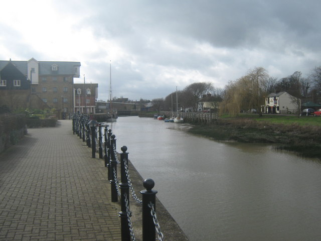
Image: © David Anstiss Taken: 27 Feb 2010
As seen from the riverside walk near Provender Mill (on the left). Albion Tavern is on the Brents on the other side of the Creek.
Images are licensed for reuse under creativecommons.org/licenses/by-sa/2.0
Image Location
Latitude
51.31869
Longitude
0.891125