Bournemouth: footpath B16 between Braidley and Bodorgan Roads
Introduction
The photograph on this page of Bournemouth: footpath B16 between Braidley and Bodorgan Roads by Chris Downer as part of the Geograph project.
The Geograph project started in 2005 with the aim of publishing, organising and preserving representative images for every square kilometre of Great Britain, Ireland and the Isle of Man.

There are currently over 7.5m images from over 14,400 individuals and you can help contribute to the project by visiting https://www.geograph.org.uk
Bournemouth: footpath B16 between Braidley and Bodorgan Roads
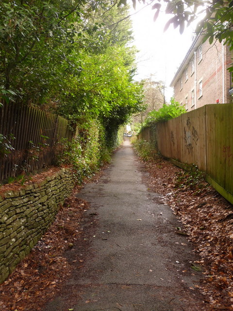
Image: © Chris Downer Taken: 26 Feb 2010
Looking up this public footpath from near the Braidley Road end. Immediately behind us, the path splits in two, giving a gentler slope in whichever direction is more appropriate to you. See Image for the view down the path from the top end, and Image for the diverging paths behind us, with links to further photos in both directions.
Images are licensed for reuse under creativecommons.org/licenses/by-sa/2.0
Image Location
Latitude
50.724771
Longitude
-1.879952