Provender Mill
Introduction
The photograph on this page of Provender Mill by David Anstiss as part of the Geograph project.
The Geograph project started in 2005 with the aim of publishing, organising and preserving representative images for every square kilometre of Great Britain, Ireland and the Isle of Man.

There are currently over 7.5m images from over 14,400 individuals and you can help contribute to the project by visiting https://www.geograph.org.uk
Provender Mill
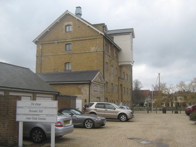
Image: © David Anstiss Taken: 27 Feb 2010
As seen from Belvedere Road. Many wharfs and industrial buildings along this road have been turned into spacious flats and townhouses beside the Faversham Creek. In the background (over the creek) is the Albion Tavern.
Images are licensed for reuse under creativecommons.org/licenses/by-sa/2.0
Image Location
Latitude
51.318856
Longitude
0.892399