Four Lane Ends
Introduction
The photograph on this page of Four Lane Ends by chris pearson as part of the Geograph project.
The Geograph project started in 2005 with the aim of publishing, organising and preserving representative images for every square kilometre of Great Britain, Ireland and the Isle of Man.

There are currently over 7.5m images from over 14,400 individuals and you can help contribute to the project by visiting https://www.geograph.org.uk
Four Lane Ends
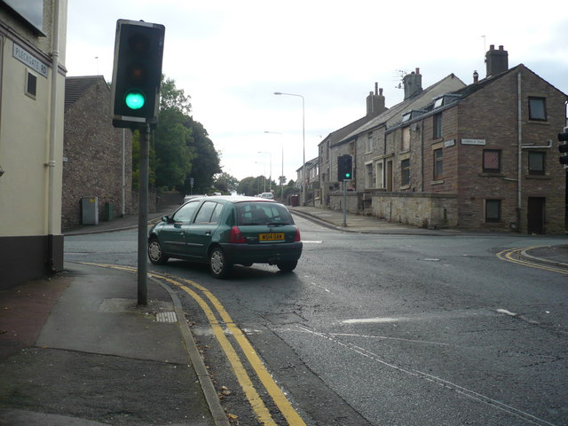
Image: © chris pearson Taken: 14 Sep 2009
Looking towards the traffic signal junction from Pleckgate Rd toward Revidge Rd
Images are licensed for reuse under creativecommons.org/licenses/by-sa/2.0
Image Location
Latitude
53.761852
Longitude
-2.487033