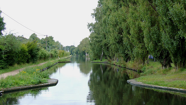
Worcester and Birmingham Canal near Bournville, Birmingham
Introduction
The photograph on this page of Worcester and Birmingham Canal near Bournville, Birmingham by Roger D Kidd as part of the Geograph project.
The Geograph project started in 2005 with the aim of publishing, organising and preserving representative images for every square kilometre of Great Britain, Ireland and the Isle of Man.
There are currently over 7.5m images from over 14,400 individuals and you can help contribute to the project by visiting https://www.geograph.org.uk

Image: © Roger D Kidd Taken: 8 Sep 2008
The railway from Worcester and Bromsgrove (and Redditch) to Birmingham runs alongside the canal here on the left, and for the rest of the way into New Street. The Worcester and Birmingham Canal was fully open by 1815. The thirty mile (48 kilometre) long route with 58 locks gives access to the River Severn at Diglis Basin in Worcester. The canal took twenty-three years to build, and eventually took coal and industrial products south and brought grain, farm produce and building materials into Birmingham. According to William Dargue, pairs of donkeys were used to tow the narrow boats on this canal - the reason is unknown. Other companies normally used single horses. http://billdargue.jimdo.com/placenames-gazetteer-a-to-y/places-k/kings-norton/ Important cargoes on this line included coal, salt, and (from the late 1800s) Cadbury's used the canal to bring the ingredients for chocolate-making to their wharf at Bournville.

