Approaching Magherahoney
Introduction
The photograph on this page of Approaching Magherahoney by Dean Molyneaux as part of the Geograph project.
The Geograph project started in 2005 with the aim of publishing, organising and preserving representative images for every square kilometre of Great Britain, Ireland and the Isle of Man.

There are currently over 7.5m images from over 14,400 individuals and you can help contribute to the project by visiting https://www.geograph.org.uk
Approaching Magherahoney
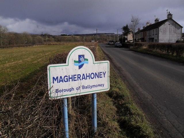
Image: © Dean Molyneaux Taken: 27 Feb 2010
Approaching from Stranocum on the Fivey Road. Erinvale Park is visible on the right.
Images are licensed for reuse under creativecommons.org/licenses/by-sa/2.0
Image Location
Latitude
55.097689
Longitude
-6.315227