West High Street, Forfar
Introduction
The photograph on this page of West High Street, Forfar by Alan Morrison as part of the Geograph project.
The Geograph project started in 2005 with the aim of publishing, organising and preserving representative images for every square kilometre of Great Britain, Ireland and the Isle of Man.

There are currently over 7.5m images from over 14,400 individuals and you can help contribute to the project by visiting https://www.geograph.org.uk
West High Street, Forfar
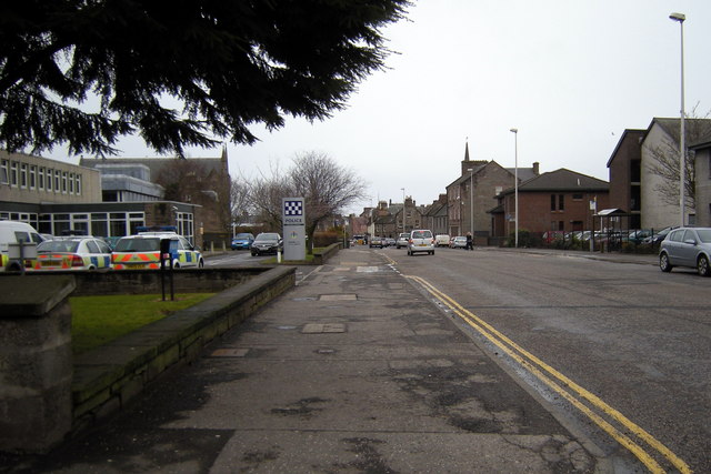
Image: © Alan Morrison Taken: 26 Feb 2010
Photo taken looking east from Stark's Close.
Images are licensed for reuse under creativecommons.org/licenses/by-sa/2.0
Image Location
Latitude
56.642761
Longitude
-2.891556