Upton, conservation work
Introduction
The photograph on this page of Upton, conservation work by Mike Faherty as part of the Geograph project.
The Geograph project started in 2005 with the aim of publishing, organising and preserving representative images for every square kilometre of Great Britain, Ireland and the Isle of Man.

There are currently over 7.5m images from over 14,400 individuals and you can help contribute to the project by visiting https://www.geograph.org.uk
Upton, conservation work
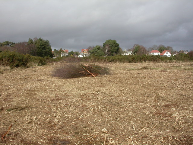
Image: © Mike Faherty Taken: 27 Feb 2010
Part of the southern edge of Image has been cleared of gorse scrub, presumably to give the more open, and eventually grassy, habitat that reptiles prefer. In the background, Sandy Lane.
Images are licensed for reuse under creativecommons.org/licenses/by-sa/2.0
Image Location
Latitude
50.733458
Longitude
-2.039198