Upton, nature reserve
Introduction
The photograph on this page of Upton, nature reserve by Mike Faherty as part of the Geograph project.
The Geograph project started in 2005 with the aim of publishing, organising and preserving representative images for every square kilometre of Great Britain, Ireland and the Isle of Man.

There are currently over 7.5m images from over 14,400 individuals and you can help contribute to the project by visiting https://www.geograph.org.uk
Upton, nature reserve
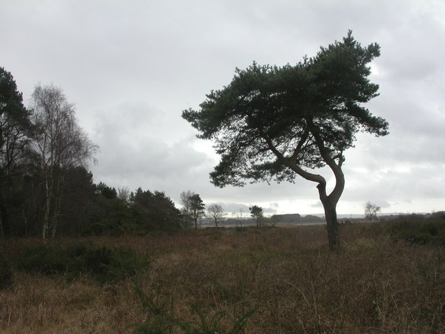
Image: © Mike Faherty Taken: 27 Feb 2010
Reserve and open access land managed by Herpetelogical Conservation Trust; woodland, scrub, heather and grassland; looking South towards Lychett Bay. Shown on this map as Lytchett Heath: http://www.herpconstrust.org.uk/dorset_reserves.htm
Images are licensed for reuse under creativecommons.org/licenses/by-sa/2.0
Image Location
Latitude
50.734808
Longitude
-2.037215