Upton, Lady Wimborne Cottages
Introduction
The photograph on this page of Upton, Lady Wimborne Cottages by Mike Faherty as part of the Geograph project.
The Geograph project started in 2005 with the aim of publishing, organising and preserving representative images for every square kilometre of Great Britain, Ireland and the Isle of Man.

There are currently over 7.5m images from over 14,400 individuals and you can help contribute to the project by visiting https://www.geograph.org.uk
Upton, Lady Wimborne Cottages
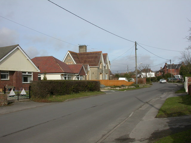
Image: © Mike Faherty Taken: 27 Feb 2010
Near the southern end of Sea View Road. A pair from about 110 estate cottages built by Lady Wimborne and her daughter between 1867 and 1904. Cottages have relief brick numbers above the front door; confusingly, these are not street house numbers, but serial numbers. This pair is numbered 96 & 97, and dated 1895. http://archive.dorsetecho.co.uk/2000/11/6/109091.html
Images are licensed for reuse under creativecommons.org/licenses/by-sa/2.0
Image Location
Latitude
50.736965
Longitude
-2.040618