Old road bridge, Water Orton
Introduction
The photograph on this page of Old road bridge, Water Orton by Michael Westley as part of the Geograph project.
The Geograph project started in 2005 with the aim of publishing, organising and preserving representative images for every square kilometre of Great Britain, Ireland and the Isle of Man.

There are currently over 7.5m images from over 14,400 individuals and you can help contribute to the project by visiting https://www.geograph.org.uk
Old road bridge, Water Orton
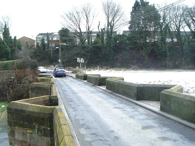
Image: © Michael Westley Taken: 20 Feb 2010
Showing the narrowness of bridge across the River Tame (traffic await either end, without traffic lights), and the elevated land beyond which is part of Water Orton village.
Images are licensed for reuse under creativecommons.org/licenses/by-sa/2.0
Image Location
Latitude
52.519666
Longitude
-1.744705