Acer Way, Rogerstone
Introduction
The photograph on this page of Acer Way, Rogerstone by Jaggery as part of the Geograph project.
The Geograph project started in 2005 with the aim of publishing, organising and preserving representative images for every square kilometre of Great Britain, Ireland and the Isle of Man.

There are currently over 7.5m images from over 14,400 individuals and you can help contribute to the project by visiting https://www.geograph.org.uk
Acer Way, Rogerstone
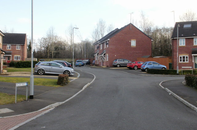
Image: © Jaggery Taken: 26 Feb 2010
Viewed from Fuscia Way. See http://www.geograph.org.uk/photo/1727457 for a comment about the (mis)spelling Fuscia. Crocus Close http://www.geograph.org.uk/photo/1727568 is on the right.
Images are licensed for reuse under creativecommons.org/licenses/by-sa/2.0
Image Location
Latitude
51.592269
Longitude
-3.069623