Railway Track at Southbourne
Introduction
The photograph on this page of Railway Track at Southbourne by Elaine M Findlay as part of the Geograph project.
The Geograph project started in 2005 with the aim of publishing, organising and preserving representative images for every square kilometre of Great Britain, Ireland and the Isle of Man.

There are currently over 7.5m images from over 14,400 individuals and you can help contribute to the project by visiting https://www.geograph.org.uk
Railway Track at Southbourne
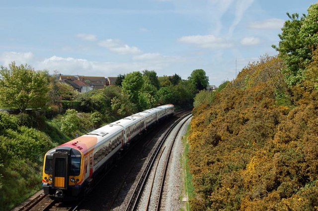
Image: © Elaine M Findlay Taken: 2 May 2009
The London Waterloo to Bournemouth train on the stretch of track between the road bridge on Southbourne Road, Southbourne and Pokesdown Station. The houses on the left are on Stourvale Road, Pokesdown
Images are licensed for reuse under creativecommons.org/licenses/by-sa/2.0
Image Location


Leaflet Map data © OpenStreetMap
Latitude
50.73153
Longitude
-1.821416