Road A, Wern Trading Estate, Rogerstone
Introduction
The photograph on this page of Road A, Wern Trading Estate, Rogerstone by Jaggery as part of the Geograph project.
The Geograph project started in 2005 with the aim of publishing, organising and preserving representative images for every square kilometre of Great Britain, Ireland and the Isle of Man.

There are currently over 7.5m images from over 14,400 individuals and you can help contribute to the project by visiting https://www.geograph.org.uk
Road A, Wern Trading Estate, Rogerstone
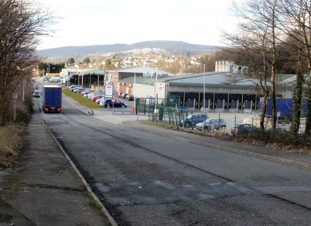
Image: © Jaggery Taken: 26 Feb 2010
Viewed from the Chartist Way end. On the right is Warburtons Bakery.
Images are licensed for reuse under creativecommons.org/licenses/by-sa/2.0
Image Location
Latitude
51.589716
Longitude
-3.053685