Goldmark Close, Old Farm Park
Introduction
The photograph on this page of Goldmark Close, Old Farm Park by Shirley Jones as part of the Geograph project.
The Geograph project started in 2005 with the aim of publishing, organising and preserving representative images for every square kilometre of Great Britain, Ireland and the Isle of Man.

There are currently over 7.5m images from over 14,400 individuals and you can help contribute to the project by visiting https://www.geograph.org.uk
Goldmark Close, Old Farm Park
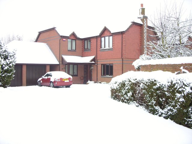
Image: © Shirley Jones Taken: 18 Dec 2009
Typical 1990s dwelling in south east corner of 1960s new town Milton Keynes. This is a Tay Home (company now defunct) and one of 18 detached houses built on a plot on former farm land. All streets locally are named after composers. Goldmark was Hungarian.
Images are licensed for reuse under creativecommons.org/licenses/by-sa/2.0
Image Location
Latitude
52.016975
Longitude
-0.677406