View of South Ashford
Introduction
The photograph on this page of View of South Ashford by David Anstiss as part of the Geograph project.
The Geograph project started in 2005 with the aim of publishing, organising and preserving representative images for every square kilometre of Great Britain, Ireland and the Isle of Man.

There are currently over 7.5m images from over 14,400 individuals and you can help contribute to the project by visiting https://www.geograph.org.uk
View of South Ashford
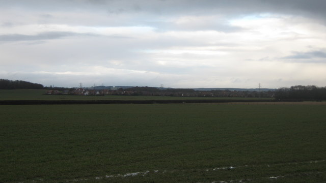
Image: © David Anstiss Taken: 21 Feb 2010
Seen from a footpath near Little Court Farm. Looking across Long Length. Southern Ashford is expanding outwards into the farmland of the Weald. Coleman's Kitchen Wood is seen in the background on the left.
Images are licensed for reuse under creativecommons.org/licenses/by-sa/2.0
Image Location


Leaflet Map data © OpenStreetMap
Latitude
51.117088
Longitude
0.837645