Landscaping, Marlborough Lane, Swindon
Introduction
The photograph on this page of Landscaping, Marlborough Lane, Swindon by Brian Robert Marshall as part of the Geograph project.
The Geograph project started in 2005 with the aim of publishing, organising and preserving representative images for every square kilometre of Great Britain, Ireland and the Isle of Man.

There are currently over 7.5m images from over 14,400 individuals and you can help contribute to the project by visiting https://www.geograph.org.uk
Landscaping, Marlborough Lane, Swindon
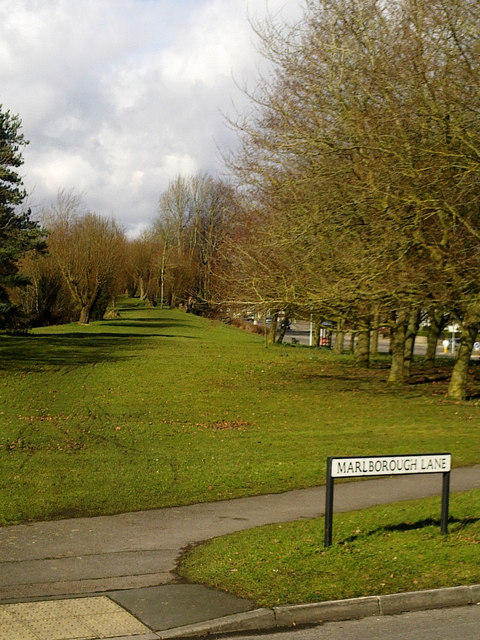
Image: © Brian Robert Marshall Taken: 26 Feb 2010
This landscaped area is situated between Marlborough Road, visible through the trees on the right, and Marlborough Lane. It was once the trackbed of the former Midland and South Western Junction Railway (M&SWJR) which ran from the 19th century until September 1961.
Images are licensed for reuse under creativecommons.org/licenses/by-sa/2.0
Image Location


Leaflet Map data © OpenStreetMap
Latitude
51.546662
Longitude
-1.771669