On a clear day
Introduction
The photograph on this page of On a clear day by Michael Dibb as part of the Geograph project.
The Geograph project started in 2005 with the aim of publishing, organising and preserving representative images for every square kilometre of Great Britain, Ireland and the Isle of Man.

There are currently over 7.5m images from over 14,400 individuals and you can help contribute to the project by visiting https://www.geograph.org.uk
On a clear day
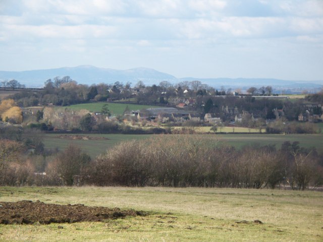
Image: © Michael Dibb Taken: 11 Feb 2010
As the Cotswold Way long distance path ascends the Cotswold scarp slope, the views open up. Here the view is looking over Greet. In the far distance are the Malvern Hills, the highest point of which, Worcester Beacon Image, is almost 20 miles away.
Images are licensed for reuse under creativecommons.org/licenses/by-sa/2.0
Image Location
Latitude
51.970717
Longitude
-1.966765