Two ways to go
Introduction
The photograph on this page of Two ways to go by Michael Dibb as part of the Geograph project.
The Geograph project started in 2005 with the aim of publishing, organising and preserving representative images for every square kilometre of Great Britain, Ireland and the Isle of Man.

There are currently over 7.5m images from over 14,400 individuals and you can help contribute to the project by visiting https://www.geograph.org.uk
Two ways to go
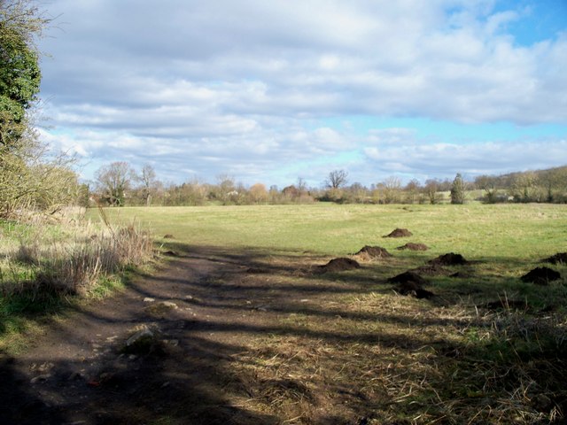
Image: © Michael Dibb Taken: 11 Feb 2010
The Gloucestershire Way long distance path heads across the field to the right on its way to Hailes. The path to Footbridge follows the river bank to the left.
Images are licensed for reuse under creativecommons.org/licenses/by-sa/2.0
Image Location
Latitude
51.953184
Longitude
-1.961685