Oak tree and recreation ground
Introduction
The photograph on this page of Oak tree and recreation ground by David Lally as part of the Geograph project.
The Geograph project started in 2005 with the aim of publishing, organising and preserving representative images for every square kilometre of Great Britain, Ireland and the Isle of Man.

There are currently over 7.5m images from over 14,400 individuals and you can help contribute to the project by visiting https://www.geograph.org.uk
Oak tree and recreation ground
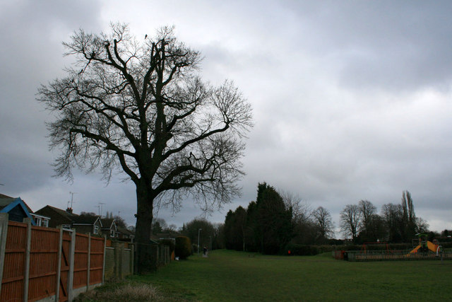
Image: © David Lally Taken: 24 Feb 2010
Looking toward the end of Vicarage Lane, Ruddington. The recreation ground is basically a patch of grass with a small children's play area, seen here on the right.
Images are licensed for reuse under creativecommons.org/licenses/by-sa/2.0
Image Location
Latitude
52.891144
Longitude
-1.157053