The Old Corner House, High Street, Westham
Introduction
The photograph on this page of The Old Corner House, High Street, Westham by Simon Carey as part of the Geograph project.
The Geograph project started in 2005 with the aim of publishing, organising and preserving representative images for every square kilometre of Great Britain, Ireland and the Isle of Man.

There are currently over 7.5m images from over 14,400 individuals and you can help contribute to the project by visiting https://www.geograph.org.uk
The Old Corner House, High Street, Westham
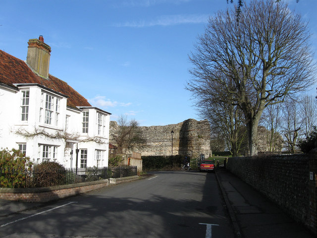
Image: © Simon Carey Taken: 20 Feb 2010
Until the 1950s this was the A27 which reached this house then followed the castle walls around the northern side to Pevensey. Prior to that the road would have run through the west gate and across the castle grounds.
Images are licensed for reuse under creativecommons.org/licenses/by-sa/2.0
Image Location
Latitude
50.818193
Longitude
0.330492