Pevensey Park Road
Introduction
The photograph on this page of Pevensey Park Road by Simon Carey as part of the Geograph project.
The Geograph project started in 2005 with the aim of publishing, organising and preserving representative images for every square kilometre of Great Britain, Ireland and the Isle of Man.

There are currently over 7.5m images from over 14,400 individuals and you can help contribute to the project by visiting https://www.geograph.org.uk
Pevensey Park Road
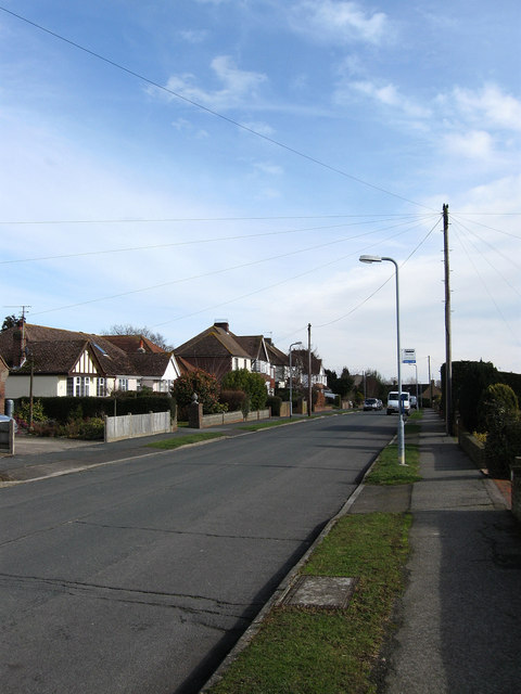
Image: © Simon Carey Taken: 20 Feb 2010
Built before the Second World War when it was a cul-de-sac until the building of the housing estates in the 1950s around Castle View Gardens and St John's Drive.
Images are licensed for reuse under creativecommons.org/licenses/by-sa/2.0
Image Location
Latitude
50.818276
Longitude
0.321835