Castle View Gardens
Introduction
The photograph on this page of Castle View Gardens by Simon Carey as part of the Geograph project.
The Geograph project started in 2005 with the aim of publishing, organising and preserving representative images for every square kilometre of Great Britain, Ireland and the Isle of Man.

There are currently over 7.5m images from over 14,400 individuals and you can help contribute to the project by visiting https://www.geograph.org.uk
Castle View Gardens
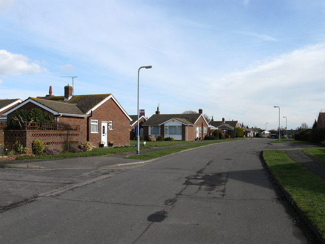
Image: © Simon Carey Taken: 20 Feb 2010
An estate of bungalows built in the 1950s on what was once Barrack Field which was the location for a set of barracks during the Napoleonic Wars.
Images are licensed for reuse under creativecommons.org/licenses/by-sa/2.0
Image Location
Latitude
50.819711
Longitude
0.317505