Mill Field
Introduction
The photograph on this page of Mill Field by Simon Carey as part of the Geograph project.
The Geograph project started in 2005 with the aim of publishing, organising and preserving representative images for every square kilometre of Great Britain, Ireland and the Isle of Man.

There are currently over 7.5m images from over 14,400 individuals and you can help contribute to the project by visiting https://www.geograph.org.uk
Mill Field
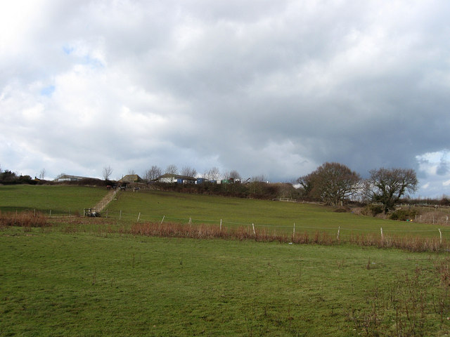
Image: © Simon Carey Taken: 20 Feb 2010
The name of the field according to the 1838 tithe map which lies on the eastern side of Mill Hill. Mill Farm lies on top of the hill and as the names suggests it was once the location of Westham Windmill known alternatively as Crisfords or Black Mill which operated from the mid 18th century until it was blown down in a gale in 1881. Its centre post remained until the 1920s/30s.
Images are licensed for reuse under creativecommons.org/licenses/by-sa/2.0
Image Location
Latitude
50.821037
Longitude
0.314163