Recreation area, Summerhill, Newport
Introduction
The photograph on this page of Recreation area, Summerhill, Newport by Jaggery as part of the Geograph project.
The Geograph project started in 2005 with the aim of publishing, organising and preserving representative images for every square kilometre of Great Britain, Ireland and the Isle of Man.

There are currently over 7.5m images from over 14,400 individuals and you can help contribute to the project by visiting https://www.geograph.org.uk
Recreation area, Summerhill, Newport
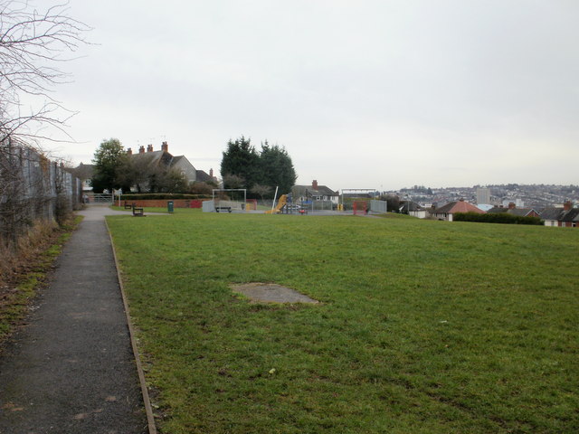
Image: © Jaggery Taken: 25 Feb 2010
Located on the edge of the St Julians and Summerhill areas of Newport, viewed from the Brecon Road side. The path on the left runs between the edge of Radnor Road allotments, and a grassed area and children's play area.
Images are licensed for reuse under creativecommons.org/licenses/by-sa/2.0
Image Location
Latitude
51.594885
Longitude
-2.975846