The Gallangad Burn
Introduction
The photograph on this page of The Gallangad Burn by Lairich Rig as part of the Geograph project.
The Geograph project started in 2005 with the aim of publishing, organising and preserving representative images for every square kilometre of Great Britain, Ireland and the Isle of Man.

There are currently over 7.5m images from over 14,400 individuals and you can help contribute to the project by visiting https://www.geograph.org.uk
The Gallangad Burn
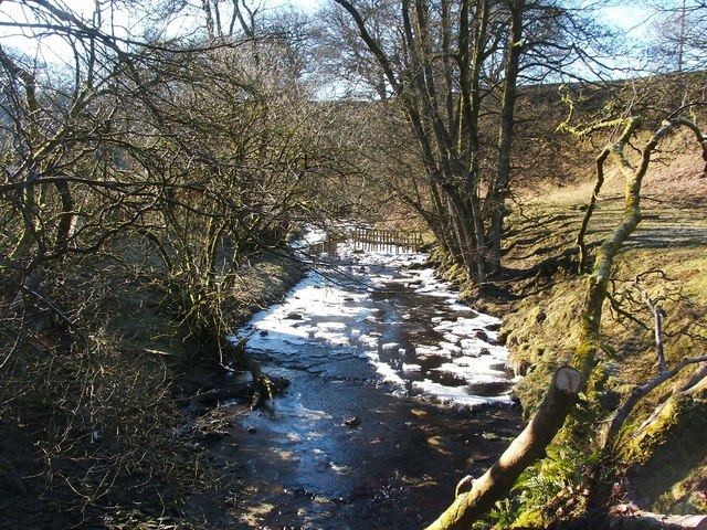
Image: © Lairich Rig Taken: 19 Feb 2010
The photo was taken from the point where the burn passes beneath the road, near Gallangad Lodge (for a similar view in a different season, see Image). For a view in the opposite direction from the same point, see Image; note that the photos were taken a week apart, which explains why there is ice in the burn in only one of them.
Images are licensed for reuse under creativecommons.org/licenses/by-sa/2.0
Image Location
Latitude
56.01453
Longitude
-4.500503