Octopus Roundabout
Introduction
The photograph on this page of Octopus Roundabout by Robin Drayton as part of the Geograph project.
The Geograph project started in 2005 with the aim of publishing, organising and preserving representative images for every square kilometre of Great Britain, Ireland and the Isle of Man.

There are currently over 7.5m images from over 14,400 individuals and you can help contribute to the project by visiting https://www.geograph.org.uk
Octopus Roundabout
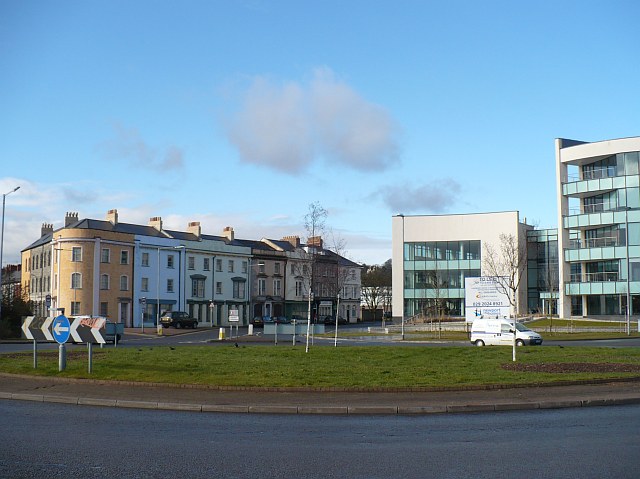
Image: © Robin Drayton Taken: 16 Feb 2010
Looking towards the southern end of Lower Dock Street and showing the contrast between Victorian and 21st century architecture. An appraisal of the Lower Dock Street Conservation Area made in the 1990s described these properties as "a fine group of early Victorian, three storey buildings, originally with stuccoed elevations…..This group forms an important gateway feature when entering the Conservation Area from the south."
Images are licensed for reuse under creativecommons.org/licenses/by-sa/2.0
Image Location
Latitude
51.581043
Longitude
-2.985941