Turnbull Road
Introduction
The photograph on this page of Turnbull Road by Peter Teal as part of the Geograph project.
The Geograph project started in 2005 with the aim of publishing, organising and preserving representative images for every square kilometre of Great Britain, Ireland and the Isle of Man.

There are currently over 7.5m images from over 14,400 individuals and you can help contribute to the project by visiting https://www.geograph.org.uk
Turnbull Road
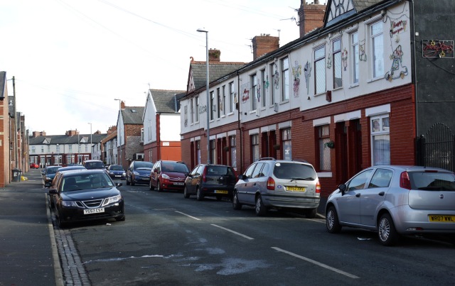
Image: © Peter Teal Taken: 22 Feb 2010
Leading to Brighton Range at the bottom. This first row of houses on the right have a beautiful combined Christmas show.
Images are licensed for reuse under creativecommons.org/licenses/by-sa/2.0
Image Location
Latitude
53.457137
Longitude
-2.158542