Track next to Honibere Wood, near Burton
Introduction
The photograph on this page of Track next to Honibere Wood, near Burton by Barbara Cook as part of the Geograph project.
The Geograph project started in 2005 with the aim of publishing, organising and preserving representative images for every square kilometre of Great Britain, Ireland and the Isle of Man.

There are currently over 7.5m images from over 14,400 individuals and you can help contribute to the project by visiting https://www.geograph.org.uk
Track next to Honibere Wood, near Burton
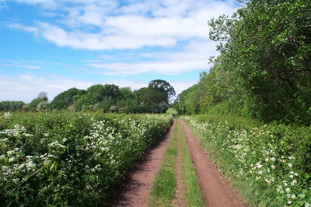
Image: © Barbara Cook Taken: 20 May 2006
The track, which is a public right of way, leads northwards to the coast, about a mile away.
Images are licensed for reuse under creativecommons.org/licenses/by-sa/2.0
Image Location
Latitude
51.190233
Longitude
-3.173335