A winding channel below Moorpark
Introduction
The photograph on this page of A winding channel below Moorpark by Robin Stott as part of the Geograph project.
The Geograph project started in 2005 with the aim of publishing, organising and preserving representative images for every square kilometre of Great Britain, Ireland and the Isle of Man.

There are currently over 7.5m images from over 14,400 individuals and you can help contribute to the project by visiting https://www.geograph.org.uk
A winding channel below Moorpark
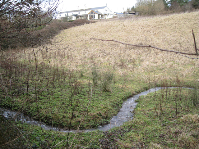
Image: © Robin Stott Taken: 19 Feb 2010
This is the outflow from a stream-fed water hazard on Hele Park golf course across the road.
Images are licensed for reuse under creativecommons.org/licenses/by-sa/2.0
Image Location
Latitude
50.539752
Longitude
-3.643994