Low Bridge
Introduction
The photograph on this page of Low Bridge by Chris Shaw as part of the Geograph project.
The Geograph project started in 2005 with the aim of publishing, organising and preserving representative images for every square kilometre of Great Britain, Ireland and the Isle of Man.

There are currently over 7.5m images from over 14,400 individuals and you can help contribute to the project by visiting https://www.geograph.org.uk
Low Bridge
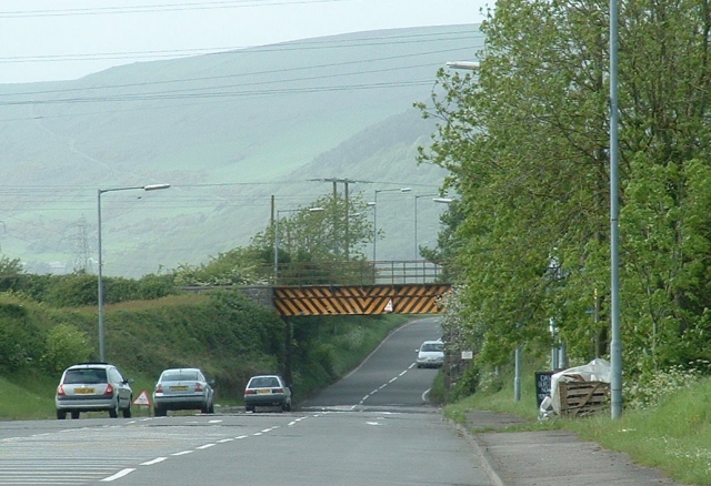
Image: © Chris Shaw Taken: Unknown
Looking North up the B4283 from a point close to the centre of the square. As you can imagine the road is subject to flooding here when it rains.
Images are licensed for reuse under creativecommons.org/licenses/by-sa/2.0
Image Location


Leaflet Map data © OpenStreetMap
Latitude
51.538591
Longitude
-3.725885