Barn Field (1)
Introduction
The photograph on this page of Barn Field (1) by Simon Carey as part of the Geograph project.
The Geograph project started in 2005 with the aim of publishing, organising and preserving representative images for every square kilometre of Great Britain, Ireland and the Isle of Man.

There are currently over 7.5m images from over 14,400 individuals and you can help contribute to the project by visiting https://www.geograph.org.uk
Barn Field (1)
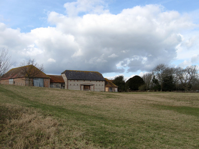
Image: © Simon Carey Taken: 20 Feb 2010
The name of the field according to the 1838 tithe map where the barns from Image back out onto the field. The field itself stretches southwards with part lost to the building of the Pevensey By-Pass in the early 1990s.
Images are licensed for reuse under creativecommons.org/licenses/by-sa/2.0
Image Location
Latitude
50.820404
Longitude
0.2961