Victoria Cottages
Introduction
The photograph on this page of Victoria Cottages by Simon Carey as part of the Geograph project.
The Geograph project started in 2005 with the aim of publishing, organising and preserving representative images for every square kilometre of Great Britain, Ireland and the Isle of Man.

There are currently over 7.5m images from over 14,400 individuals and you can help contribute to the project by visiting https://www.geograph.org.uk
Victoria Cottages
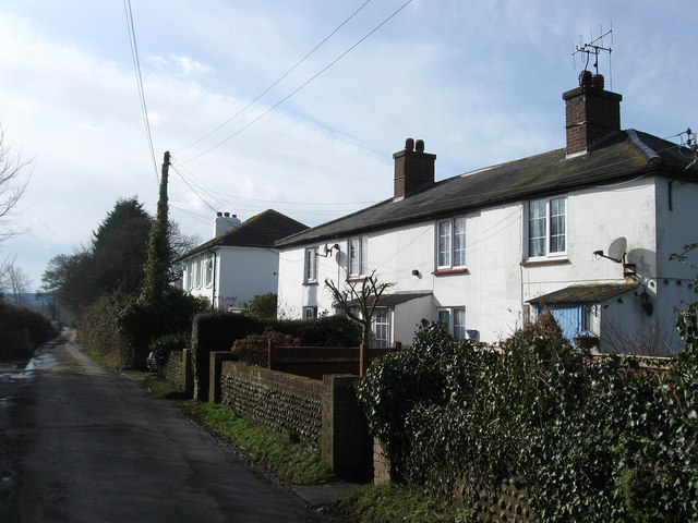
Image: © Simon Carey Taken: 20 Feb 2010
Located on Milton Street a small lane that runs south from Hankham Road to Hailsham Road, the B2104. The 1910 OS map has the current name down for the cottages whilst the 1899 one has them as Hunt's Cottages. The bigger building beyond is Victoria Villa.
Images are licensed for reuse under creativecommons.org/licenses/by-sa/2.0
Image Location
Latitude
50.823869
Longitude
0.293714