Farmland near Willersey
Introduction
The photograph on this page of Farmland near Willersey by Philip Halling as part of the Geograph project.
The Geograph project started in 2005 with the aim of publishing, organising and preserving representative images for every square kilometre of Great Britain, Ireland and the Isle of Man.

There are currently over 7.5m images from over 14,400 individuals and you can help contribute to the project by visiting https://www.geograph.org.uk
Farmland near Willersey
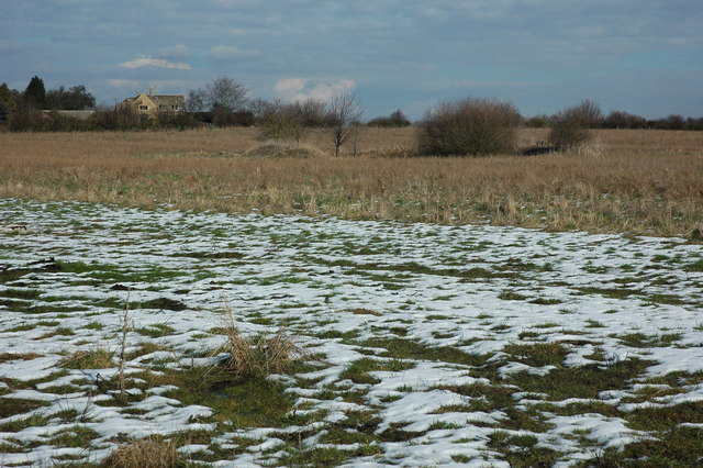
Image: © Philip Halling Taken: 20 Feb 2010
There is a pond in this field according to my map, it is surrounded by bushes, a deer is just visible between to the two bushes on the right.
Images are licensed for reuse under creativecommons.org/licenses/by-sa/2.0
Image Location


Leaflet Map data © OpenStreetMap
Latitude
52.064407
Longitude
-1.856418